Fire History of the Region
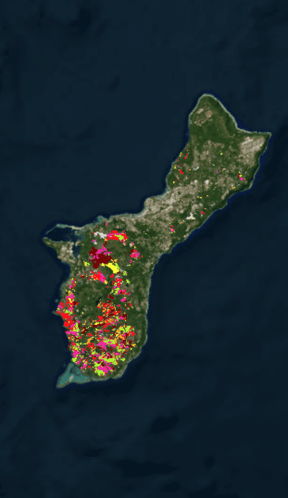
Human-caused wildland fires occur annually in Guam and the inhabited Northern Mariana Islands - Rota, Saipan, and Tinian. Fire has been identified as a key threat to communities, forest resources and watershed integrity in the 2010-2015 Statewide Resource Assessment and Strategies for both regions. Fire records on Guam from 1979-2000 show that an average of 730 fires per year burned 4,800 acres (1,942 ha), or c. 4% of the island's total land area. Annual fire number and area burned increased in years following El Niño events.
Wildfire Today
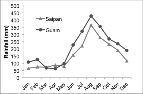
The cause of the majority of fires is attributed to intentional burning, typically related to hunting activities. In addition, fire-prone savanna vegetation accounts for 17-23% of the main islands in the Marianas chain. Fire occurrence is most frequent during the pronounced dry season from December to June.
Guam & CNMI Fires
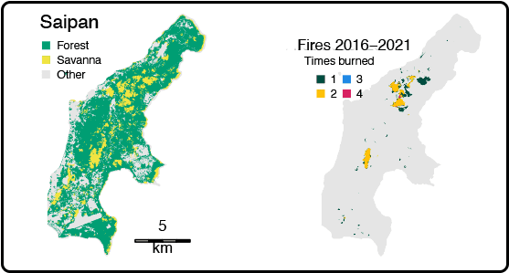
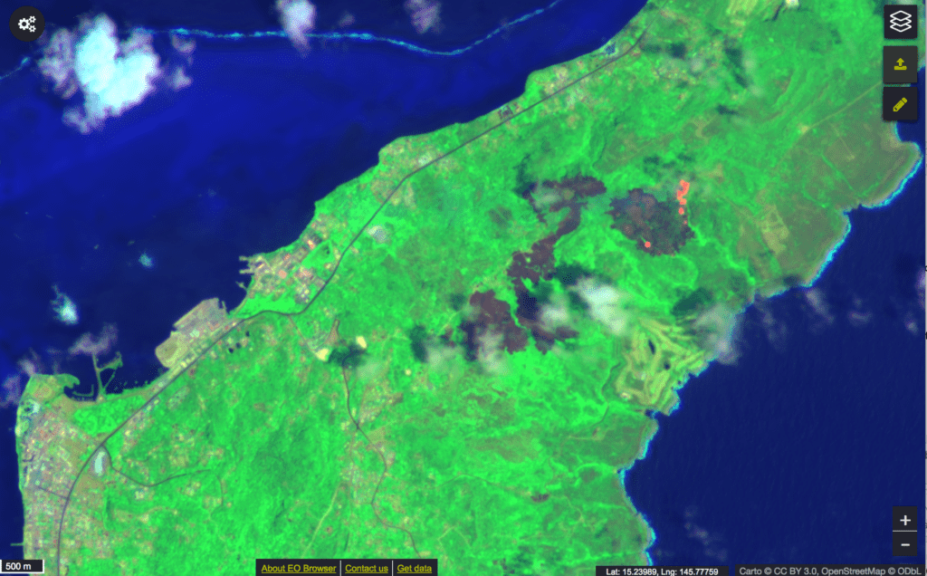
The US Forest Service’s Pacific Island Research Center’s Julian Dendy has mapped the extent of wildfires from 2015 – 2022.
Recent Resources for the Western Pacific
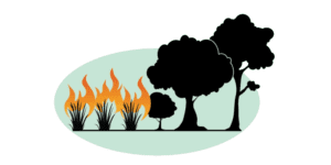
Understanding the Grass-Fire Cycle can help to better manage grasslands and savannas, reduce the risk of wildland fire, and limit the impacts of re on our communities, watersheds, and native…
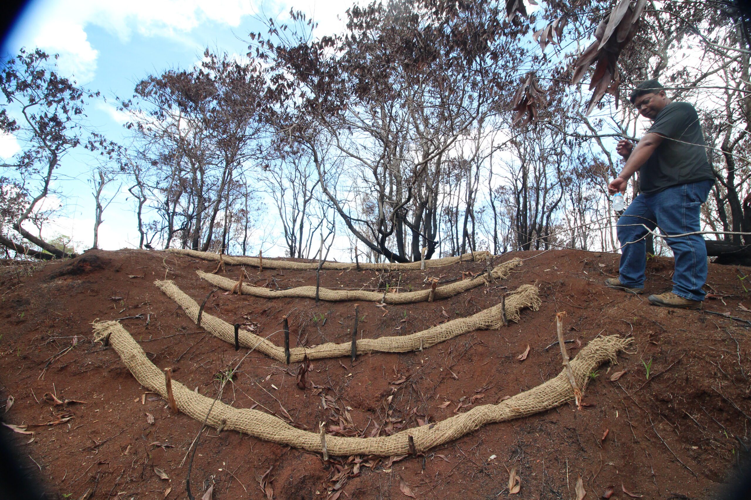
Wildfires on Guam burn an average 3.3% of the island’s area each year. That’s a lot, when you consider Guam is only 210 square miles. Fire has immediate impacts on…
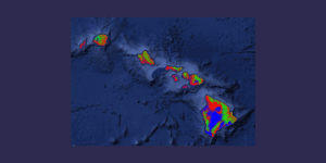
Matt Lucas presents on land cover Geographic Information Systems products for Hawai‘i and other Pacific Islands. He is a Master of Science graduate of the Natural Resource and Environmental Management…

