Fire History of the Region
Human-caused wildland fires occur annually in Guam and the inhabited Northern Mariana Islands - Rota, Saipan, and Tinian. Fire has been identified as a key threat to communities, forest resources and watershed integrity in the 2010-2015 Statewide Resource Assessment and Strategies for both regions. Fire records on Guam from 1979-2000 show that an average of 730 fires per year burned 4,800 acres (1,942 ha), or c. 4% of the island's total land area. Annual fire number and area burned increased in years following El Niño events.
Wildfire Today
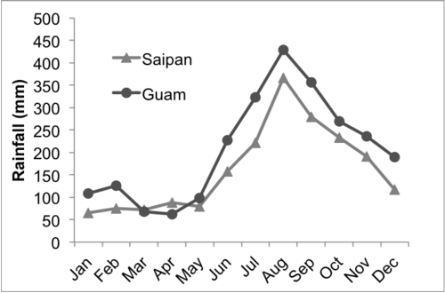
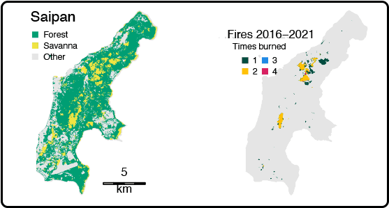
The cause of the majority of fires is attributed to intentional burning, typically related to hunting activities. In addition, fire-prone savanna vegetation accounts for 17-23% of the main islands in the Marianas chain. Fire occurrence is most frequent during the pronounced dry season from December to June.
Guam & CNMI Fires
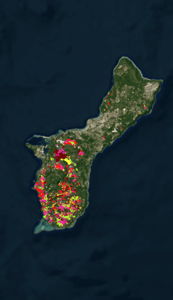
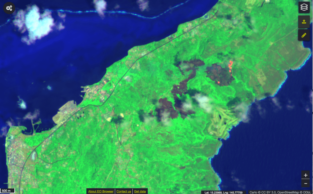
The US Forest Service’s Pacific Island Research Center’s Julian Dendy has mapped the extent of wildfires from 2015 – 2022.
Recent Resources for the Western Pacific
As the climate crisis rages on, wildfires will become ever more frequent, more intense, and more wide-spreading in Hawai’i and across the Pacific. This fact sheet summarizes the latest climate…
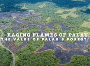
Learn about preventing the threat of fires to Palau’s population and forest, a source of cultural pride and biological diversity.
Brought to you by USDA Forest Service’s Pacific Island Forestry, this story map presents the full picture of wildfire in western Pacific islands. CHECK OUT THE STORY MAP

