Hawai‘i
Summary of Fire Past and Present
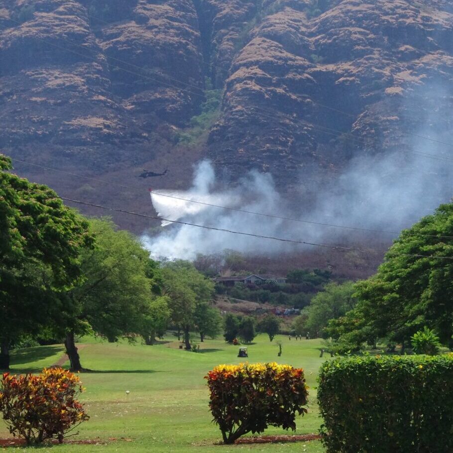
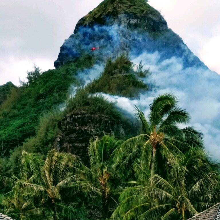
Wildfires in Hawaiʻi were once limited to those caused by active volcanic eruptions and infrequent dry lightning strikes. People first arrived to the islands between 1,000-4,000 years ago and, as everywhere else in the world, they brought change to the landscape. Nearly all fires in Hawaiʻi are human-caused and they often pose threats to communities and natural and cultural resources.
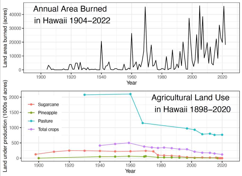
Having evolved in the absence of frequent fires, Hawaiʻi's native ecosystems are particularly vulnerable to fire disturbance, which is often associated with the spread and establishment of nonnative grass and shrub species. Over the past decade, Hawaiʻi has experienced an average of >1,000 ignitions burning >20,000 acres (8,000 ha) each year across the main inhabited islands. Fire response agencies are able to contain 90% of wildfire ignitions to less than one acre in size, but large fires (>1000 acres) have occurred on all islands, and happen multiple times each year across the state.
Hawaiian Islands
Hawai‘i Island
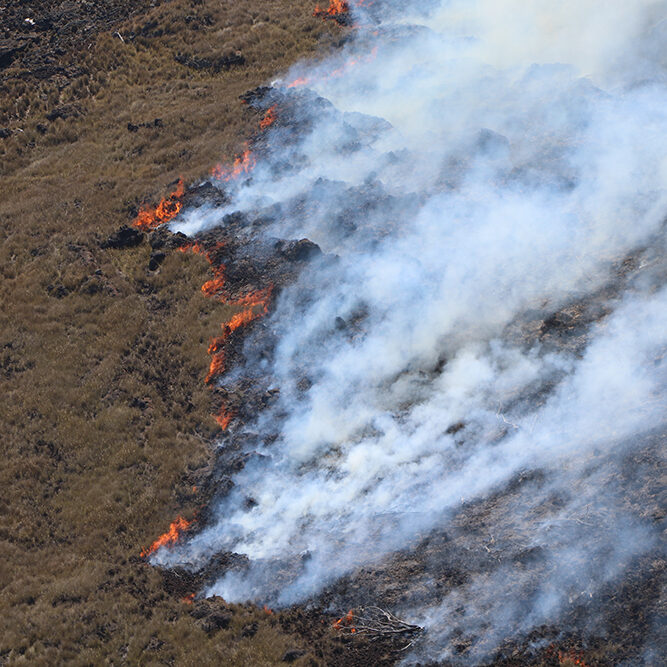
Hawaiʻi Island is unique in that it is the only Hawaiian island with ongoing active volcanic eruptions. However, humans are still by far the leading cause of wildfire ignitions. The…
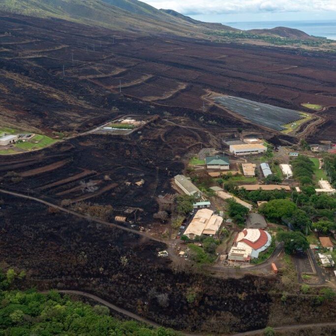
Maui Nui (Maui, Moloka‘i, Lana‘i, Kaho‘olawe)
Maui Nui consists of four high islands–Maui, Lānaʻi, Molokaʻi, and Kahoʻolawe–and the small islet Molokini Crater. Each island has unique characteristics that affect their susceptibility to wildfires. The majority of…
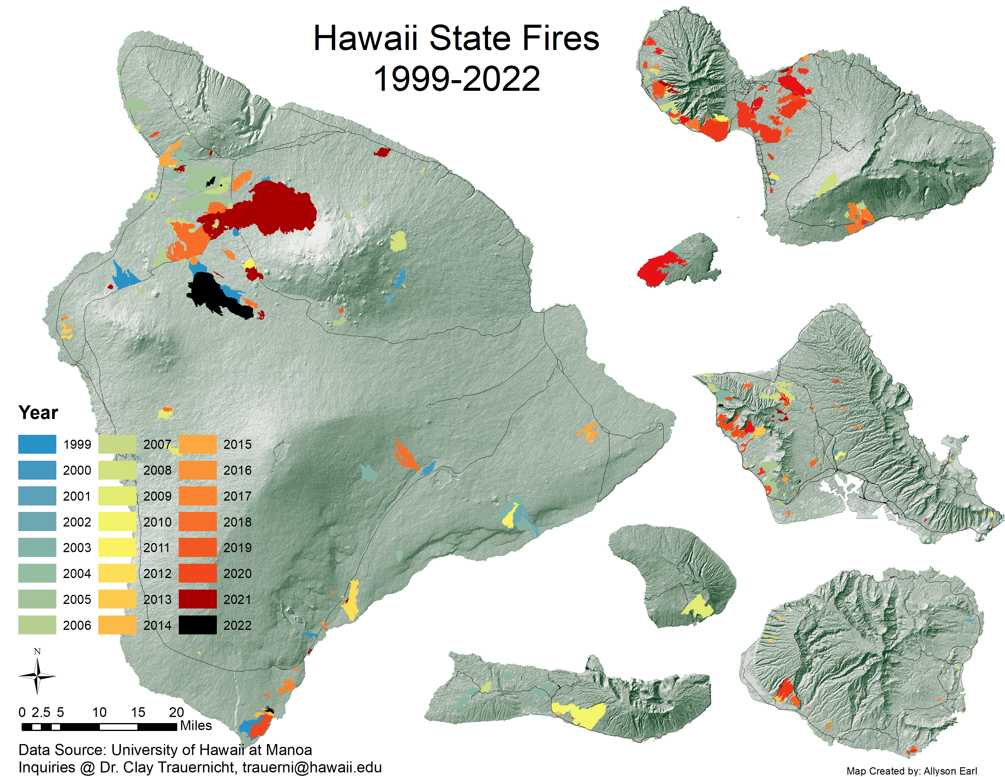
Mapping Out the Past Century of Fire
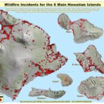
Hawai‘i Wildfire Management Organization, University of Hawai‘i at Mānoa and partners are tracking Hawai‘i records for ignitions, the extent and perimeters of areas burned. To access these data >> CLICK HERE
Colonization (18 C. to present) Radically Transforms the Landscape to Include Fire
Since the arrival of European and American settlers in the late 18th century, the cultural and economic landscape of Hawaiʻi has undergone rapid and profound transformations. These changes, accompanied by the replacement of native ecosystems with invasive weedy plants, particularly fire-prone grasses, and the introduction of non-native animals, have brought significant alterations to the environment and fire dynamics. >>READ MORE
Today's Fire Challenges in Hawaiʻi
As the human population in Hawaiʻi has risen, ignitions have followed. The vast majority of ignitions in Hawaiʻi are caused by humans while wildfires spread across the expanse of non-native vegetation accounting for c. 25% of Hawaiʻi's land area. >> READ MORE
Maps, Images, Factsheets & Plans
Recent Resources For Hawai‘i
The native Hawaiian dryland forests of the Wai`anae Mountains are home to many unique species that are disappearing. Among the many threats facing dryland forests throughout the islands, the one that is perhaps most serious – and most preventable – is wildfire. (Produced by Outside Hawai’i, a program of Mālama Learning Center – 5 min)
Methodology of weed fire risk assessments. University of Hawai’i at Mānoa’s Kevin Faccenda and Curt Daehler developed a screening system focused on wildfire risk by asking land managers to assign a relative fire…
As Hawai‘i land managers know all too well, natural and cultural resource stewardship can be a daunting undertaking involving many stakeholders from different backgrounds taking into account complex social, cultural, and ecological considerations. In this webinar, UH Mānoa Masters student Rachael Cleveland demonstrates the utility of a decision support tool called Fuzzy Cognitive Mapping (FCM) which enables all stakeholders to create a “mental map” that can capture and compute the impacts of various decision-making scenarios on important resources. Land managers will learn how the FCM software works and its application to a wildfire group in Wai`anae, Hawai‘i whom she interviewed as part of her research.

