Hawai‘i
Summary of Fire Past and Present
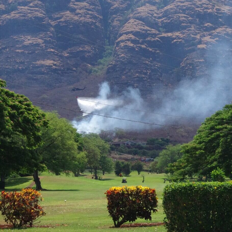
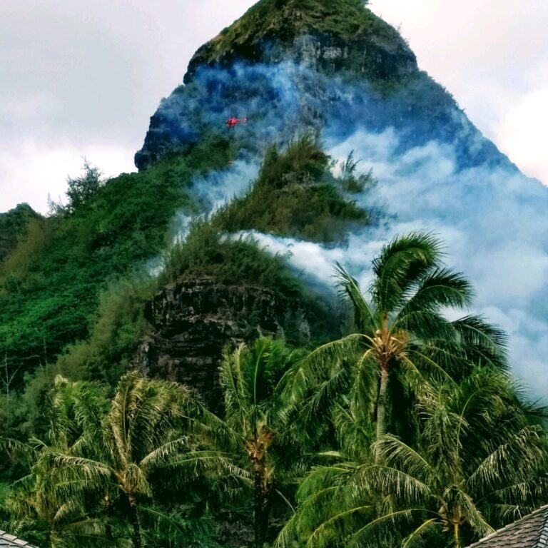
Wildfires in Hawaiʻi were once limited to those caused by active volcanic eruptions and infrequent dry lightning strikes. People first arrived to the islands between 1,000-4,000 years ago and, as everywhere else in the world, they brought change to the landscape. Nearly all fires in Hawaiʻi are human-caused and they often pose threats to communities and natural and cultural resources.
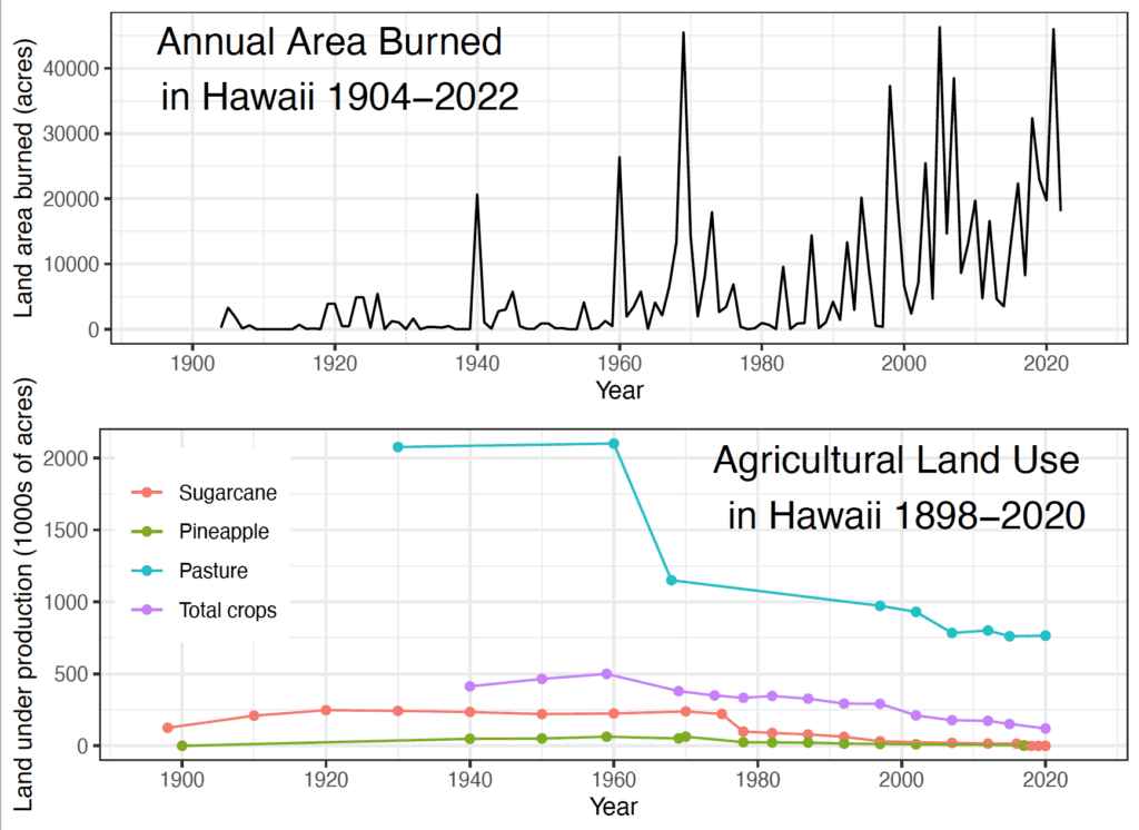
Having evolved in the absence of frequent fires, Hawaiʻi's native ecosystems are particularly vulnerable to fire disturbance, which is often associated with the spread and establishment of nonnative grass and shrub species. Over the past decade, Hawaiʻi has experienced an average of >1,000 ignitions burning >20,000 acres (8,000 ha) each year across the main inhabited islands. Fire response agencies are able to contain 90% of wildfire ignitions to less than one acre in size, but large fires (>1000 acres) have occurred on all islands, and happen multiple times each year across the state.
Hawaiian Islands
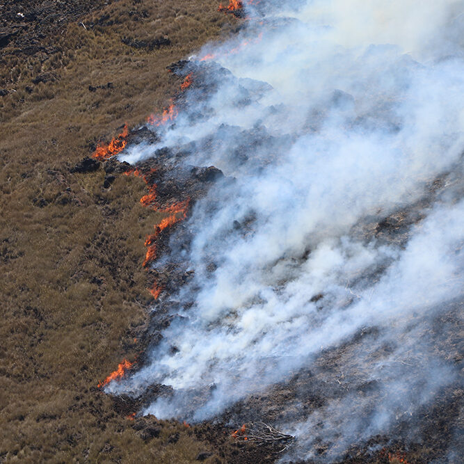
Hawai‘i Island
Hawaiʻi Island is unique in that it is the only Hawaiian island with ongoing active volcanic eruptions. However, humans are still by far the leading cause of wildfire ignitions. The…
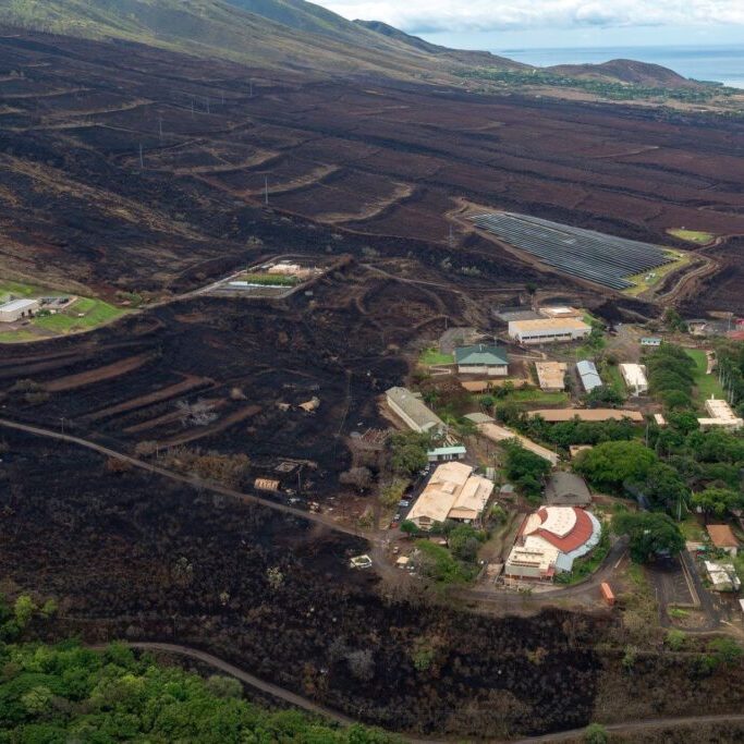
Maui Nui (Maui, Moloka‘i, Lana‘i, Kaho‘olawe)
Maui Nui consists of four high islands–Maui, Lānaʻi, Molokaʻi, and Kahoʻolawe–and the small islet Molokini Crater. Each island has unique characteristics that affect their susceptibility to wildfires. The majority of…
Mapping Out the Past Century of Fire
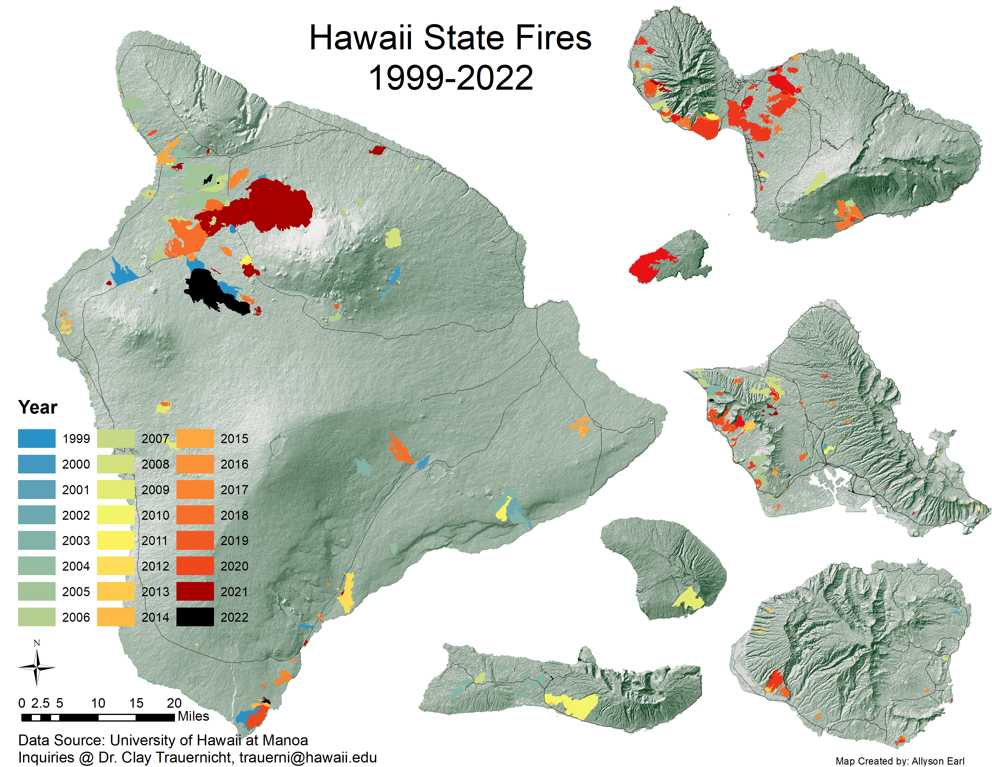
Hawai‘i Wildfire Management Organization, University of Hawai‘i at Mānoa and partners are tracking Hawai‘i records for ignitions, the extent and perimeters of areas burned. To access these data >> CLICK HERE
Colonization (18 C. to present) Radically Transforms the Landscape to Include Fire
Since the arrival of European and American settlers in the late 18th century, the cultural and economic landscape of Hawaiʻi has undergone rapid and profound transformations. These changes, accompanied by the replacement of native ecosystems with invasive weedy plants, particularly fire-prone grasses, and the introduction of non-native animals, have brought significant alterations to the environment and fire dynamics. >>READ MORE
Today's Fire Challenges in Hawaiʻi
As the human population in Hawaiʻi has risen, ignitions have followed. The vast majority of ignitions in Hawaiʻi are caused by humans while wildfires spread across the expanse of non-native vegetation accounting for c. 25% of Hawaiʻi's land area. >> READ MORE
Maps, Images, Factsheets & Plans
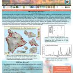
Recent Resources For Hawai‘i
Authors Hanna L. Mounce, Fern Duvall and Kirsty J. Swinnerton consider the effects of a massive brush fire in January 2007 on the endangered ‘Alauahio forest bird population in Polipoli including possible effects on foraging, breeding and reproduction.
The project was developed by US Army Garrison (HI) primarily as a pilot study to assess the use of livestock to manage vegetation growth at Mākua Military Reservation (MMR) on the island of O‘ahu, Hawai‘i. The objective was to determine the feasibility of reducing grass height to a range of 3 to 19 inches, and thereby reduce the threat of catastrophic wildfires on these important training lands as well as adjacent non-military lands.
This project was designed to evaluate at a practical scale the effectiveness and costs of a range of fine fuels management treatments in West Hawai‘i Island. The study occurred along a major inland highway from which wildfires frequently originate. We applied four major treatments that included a control (no treatment), prescribed burning, cattle grazing, and a combined burning and grazing treatment. Aerially-applied herbicide was then applied to half of each of these primary treatments resulting in a total of eight unique treatment combinations.

